
Uploading and analyzing plots directly in the Supplier Portal ensures your land data is mapped accurately for EUDR compliance, giving you instant visibility into deforestation risks without the hassle of manual data exchanges. Managing your plots takes just a few clicks!
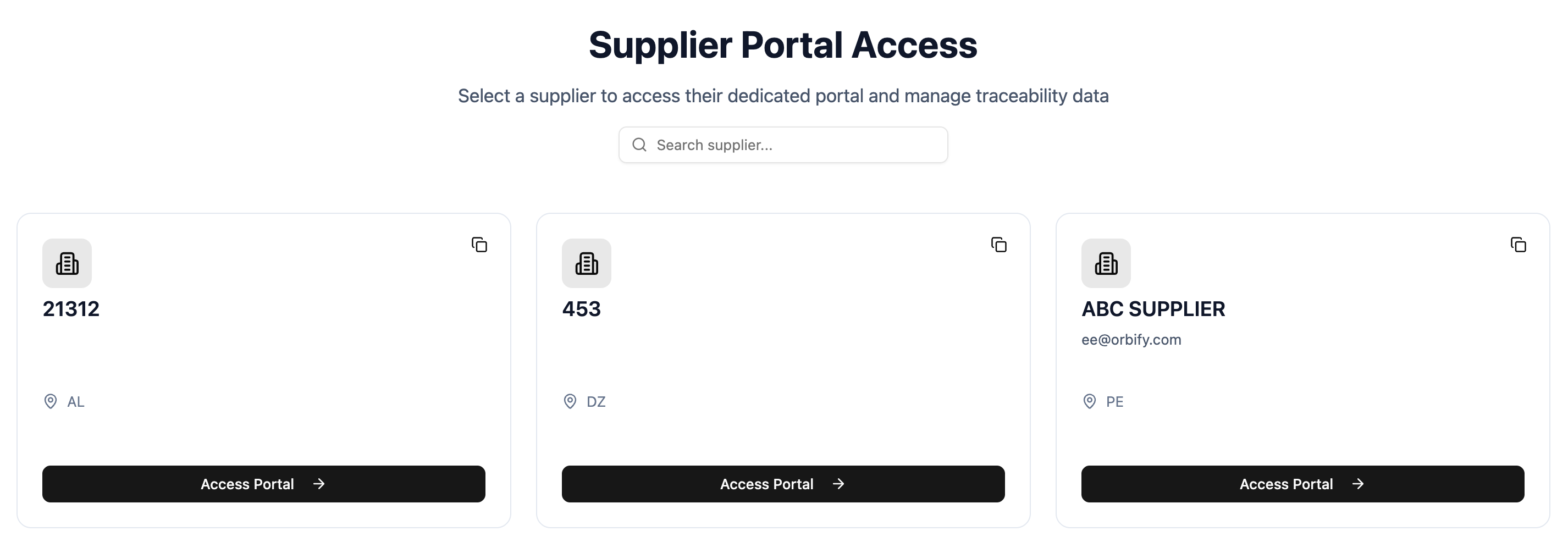
Step 1: Open the Supplier Portal. Click the link provided in your email invitation. You will see a list of dedicated supplier portals assigned to you.
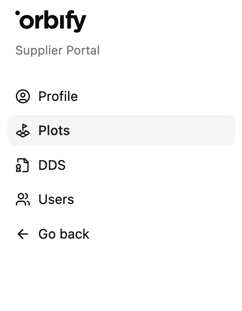
Step 2: Navigate to Plots. In the left sidebar under Supplier Portal, click Plots and Upload Plot.
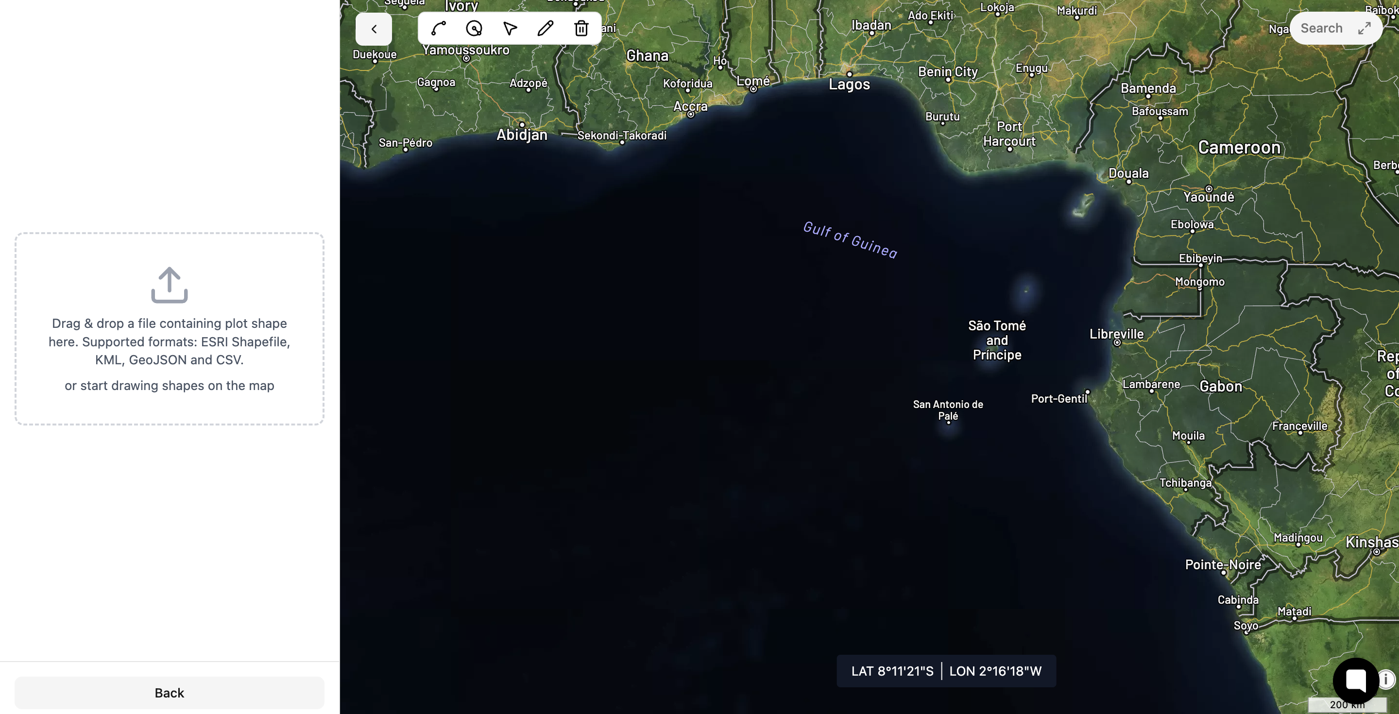
Step 3: Upload or draw your plots. Choose how you want to add your land data:
Upload a file: Click Upload plots to upload your existing spatial files (such as GeoJSON, KML, or Shapefile).
Draw on map: Use the interactive map tools to manually trace your plot boundaries directly on the screen.
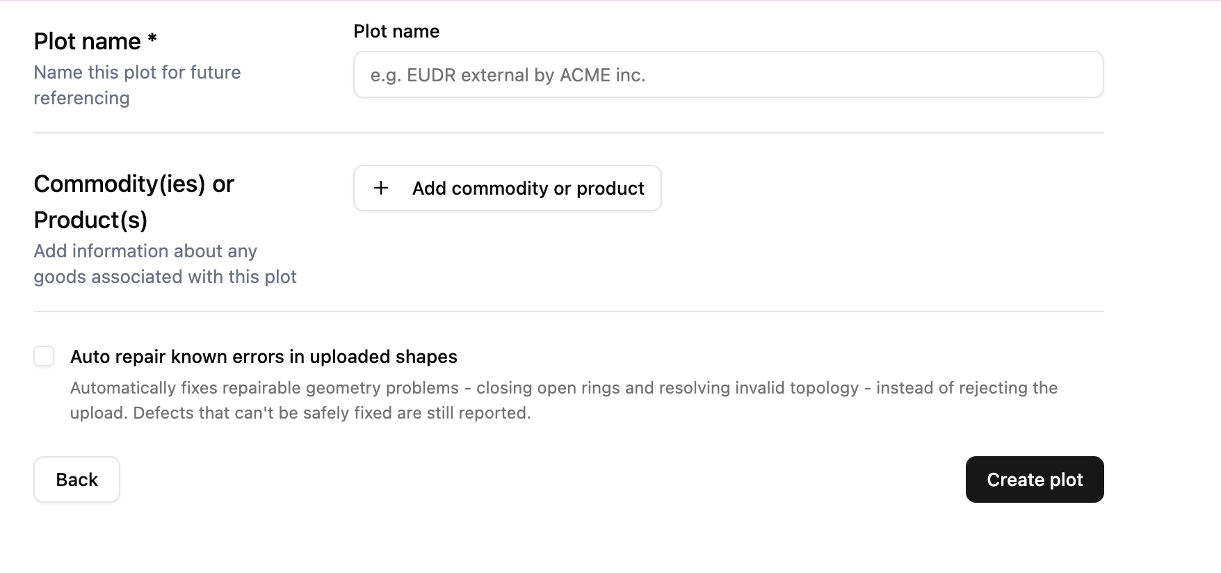
Step 4: Enter plot details. Fill in the required metadata fields for your plot:
Plot name: Enter a recognizable name for future referencing (e.g., EUDR external by ACME inc.).
Commodity(ies) or Product(s): Click + Add commodity or product to specify any goods associated with this plot.
Step 6: Review compliance and deforestation analysis. Once your plot is created, Orbify automatically processes the boundaries. You can review key details right away:
EUDR compliance: Check your automated compliance status (e.g., Likely compliant).
Location & area: Confirm the country and total land area (in hectares).
Deforestation alerts: Review any detected deforestation alerts associated with the area.
Commodity & satellite view: Verify the assigned commodity and inspect your plot boundaries laid over up-to-date satellite imagery.
Tip: Enabling the Auto repair known errors option during upload helps prevent shapefile rejection caused by minor topological errors, saving you time when importing complex GIS data files.